Click on image to view full-sized photo.
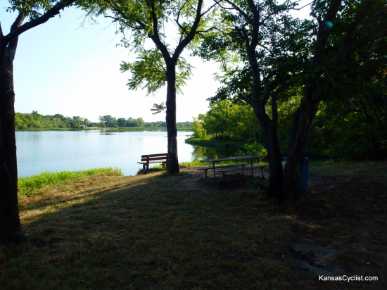
Photo Description: This is a typical camping and picnicking area on the southern shore of the lake. Picnic tables, trash cans, and portable toilets (not shown) are provided.
Photo Date: 07-09-2012
Photo Location: Pleasanton, KS
GPS Coordinates: 38.194585,-94.691205
Copyright: Copyright 2012 by KansasCyclist.com. All Rights Reserved.
Learn More: Pleasanton East City Lake
See Also: More Pleasanton East City Lake Photos
Photo Location Map


