Click on image to view full-sized photo.
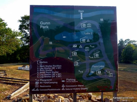
Photo Description: This sign at the entrance to Gunn Park shows a map of the park. The tent camping area is in RV Park/Camping area in the center of the park.
Photo Date: 07-09-2012
Photo Location: Fort Scott, KS
GPS Coordinates: 37.829654,-94.719186
Copyright: Copyright 2012 by KansasCyclist.com. All Rights Reserved.
Learn More: Gunn Park
See Also: More Gunn Park Photos
Photo Location Map


