The South Indian Creek Trail in Olathe is a new 1.5-mile extension to the popular Indian Creek Trail.
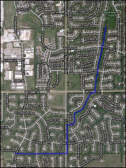
The extension begins at Southdowns Park (155th Street and Lindenwood) and runs towards the south and west, crossing 159th Street and Ridgeview Road, and ending at Hampton Park (163rd Place and Warwick).
The South Indian Creek Trail was been on the drawing board for years, and was part of Olathe’s Trails & Greenways Master Plan (released in 1993). The completion of the extension is due in large part to $867,000 in Transportation Enhancement funds received by the City of Olathe from the American Recovery & Reinvestment Act (ARRA).
With the opening of this new segment, the Indian Creek Trail Corridor on the Kansas side of the state line is now complete, encompassing about 19 miles of paved multi-use pathway. The trail extends from Hampton Park, through Olathe, Overland Park, and Leawood, and continues to the Missouri state line, where several additional miles of trail are already in place, and more are planned, to connect to the Trolley Track trail.
Here is an approximate map of the new trail, with Southdowns Park in the upper right, and Hampton Park in the lower left:
Read more about the trail from the City of Olathe: Trail Status
Here are a few photos from the new trail:
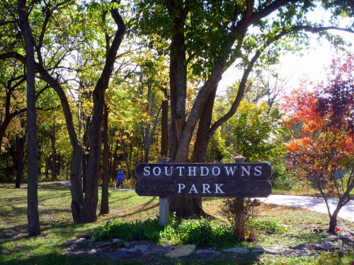
This is Southdowns Park, on the Indian Creek Trail, where the new trail segment begins.
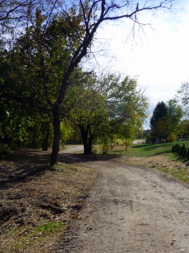
The new trail is still covered in dirt in places from the landscaping work.
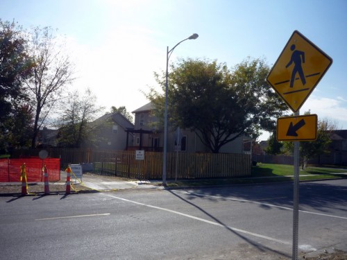
Here’s the trail crossing 157th Street (a low-traffic neighborhood street). There are lines painted on the roadway, “pedestrian crossing” signs facing street traffic, and stop signs for trail traffic.
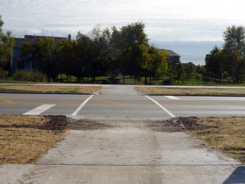
Here’s the trail crossing 159th Street (a moderately busy two-lane arterial road). In addition to the lines delineating the trail across the roadway, there are also stop bars painted on the road. The same “pedestrian crossing” signs are used, but they are placed farther away from the intersection, likely in deference to the higher speed limit on this street (40 MPH). There are no stop signs for trail traffic.
Do the stop bars on the street, and the lack of stop signs on the trail, mean that trail traffic has priority?
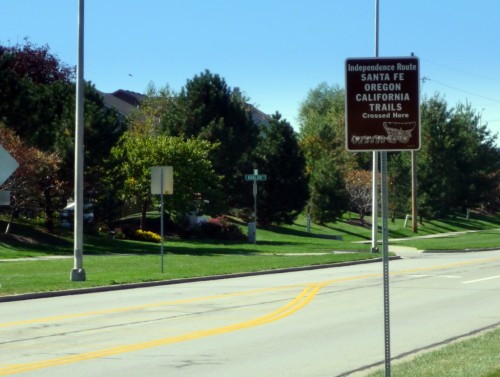
This sign is also near the 159th Street crossing, indicating that the Santa Fe Trail crossed here as well. Isn’t that neat!
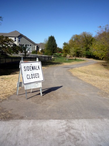
This is a confusing sign. It says “Sidewalk Closed”, yet it’s placed so that it seems to apply to the trail, rather than the sidewalk. Perhaps the city just didn’t have “Trail Closed” signs, and they figured this one would do. Not really…
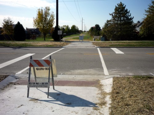
Past 159th, the trail continues to follow close to Indian Creek, before crossing Ridgeview Road. The roadway markings and signage are identical to 159th Street.
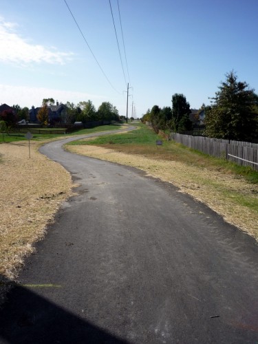
Here’s the view from just past Ridgeview, looking west towards Hampton Park. Here, the trail follows a meandering path beneath powerlines.
At the time of the writing, the trail is not 100% complete, and the official grand opening has not been announced. There’s still a bit of clean-up needed, as well as some railings and additional signage, but it’s rideable now, so get out and explore!
Post tags: Olathe


